Date/Time
Date(s) - 19/02/2018
10:00 am - 1:00 pm
Location
Edison Hall, EEE Department
Categories No Categories
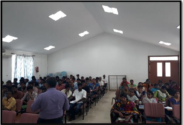
Guest lecture was conducted on “Application of remote sensing and GIS in Civil Engineering” on 19.2.18. The workshop was arranged for third and second year students of Civil engineering in Edison Hall from 10.00AM-1.00 P.M.
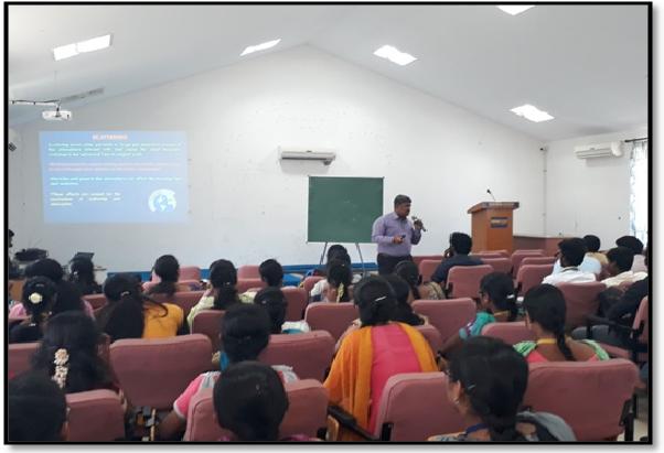
The resource person for the guest lecture was Dr.S.Saravanan, Associate Professor, NIT Trichy. Around 50 students attended the workshop along with 5 staff members. The workshop is started with introduction of Chief Guest by Dr.Gulshan Taj M.N.A., Associate Professor, Civil Department. Basics of remote sensing and GIS were explained with focus on technical terms and origin of concepts. Different terminologists were explained with appropriate illustrations for better understanding of concepts. Practical case studies for different regions like landslide study of Nilgiri hills have been shown with the collected data. Glimpse about different softwares like arc GIS, Quantum GIS were given to the students that may help them to execute final projects. Various research labs (Indian Institute of remote sensing) that are working in Remote sensing and GIS technology in India were listed out by the resource person. Scope for various job opportunities for the students in GIS based companies are also outlined in the lecture.
A student report on the guest lecture stated that “Since Remote sensing and GIS is the emerging area in the field of Civil Engineering, the guest lecture will be the eye opener to know about the field. Various case studies shown by the resource person will give idea about the projects that may be chosen during Final year. Vast application areas ranging from land resource management, landslide identification to soil monitoring leads to visualize the various thrust areas in RS and GIS”.